Use the official two-section description to understand the route. The open lower trail ends at Viewpoint 2; the upper route to the cross is closed.
Researched 11 November 2026 · Independent visitor guide
PLAN YOUR EXPERIENCE
Check dates & availability
A three-hour guided hike to the halfway viewpoints and around Le Morne, without the summit climb. Arrange your own transport. Choose your date and check the selected option’s meeting instructions.
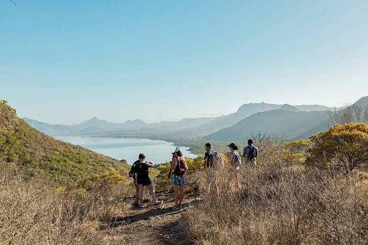
Le Morne Midway Loop with Yanature
- ★ 4.9/5 · 10+ product reviews
- 3 hours
- Operated by Yanature
Includes: Guided hike · English or French · Up to 12 guests
From EUR 55 per person
Check availability ↗Choose your date and complete your booking on Viator.
A route schematic, not a navigation track
OFFICIAL ROUTE STRUCTURE · NOT TO SCALE
Return along the permitted lower route. Do not continue through the closure point. This diagram shows relationships, not coordinates, terrain detail or walking directions.
The Trust Fund’s practical-information PDF describes the trail in two parts. Its route measurements remain useful context, but its old access text does not override the newer closure communiqué. Read both with that distinction in mind.
What the route figures mean
Section 1 starts near sea level and reaches the second plateau at about 260 metres. Its stated 2.53-kilometre length is one way; the same-path return is roughly 5.1 kilometres. Do not confuse this lower return distance with the full historic route or with the length of a tour that starts at a separate meeting point.
Section 2 runs from the second viewpoint to the metal cross, at about 492 metres. The official visitor trail ends at the cross; it is not the actual summit of the mountain. Section 2 is currently closed and is shown only to explain why a familiar summit-style map does not match today’s permitted visit.
Map apps and saved tracks
A route app can show a line long after access has changed. Downloaded GPX files, heatmaps and reviews are descriptions of movement, not permission to follow it. Use current signs and staff instructions to determine the boundary, even if your screen suggests continuing.
For arrival, use the trailhead directions guide. For the walk itself, stay on the designated path, avoid unmarked shortcuts and turn back if you cannot identify the authorised route. We do not publish an upper-route GPX during the closure.
Which viewpoint should you aim for?
Treat the farthest authorised lower viewpoint as a possible turnaround, not an obligation. Conditions or your group’s comfort may make an earlier stop more sensible. Keep away from edges and do not step onto exposed ground simply to reproduce an online photograph.
The aerial peninsula pictures on this site are explicitly labelled as aerial views. They do not show what you are guaranteed to see from the lower path. Likewise, the underwater-waterfall illusion is best considered as a separate scenic-flight subject, not a promised lower-trail view.
Sources and review date
Checked 11 November 2026 against the Le Morne Heritage Trust Fund, its visitor information PDF, and its Section 2 closure communiqué. Follow newer official notices and instructions at the entrance.